


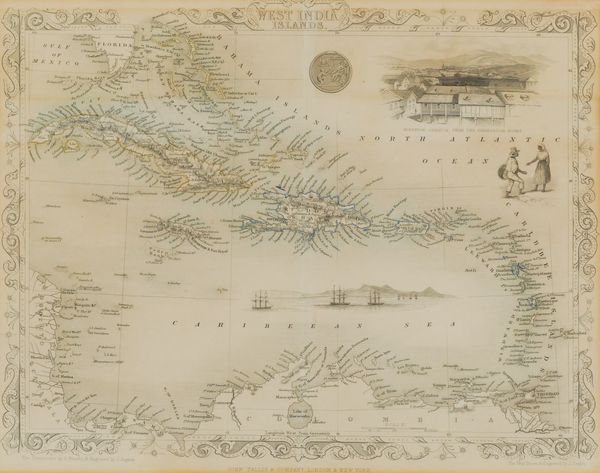
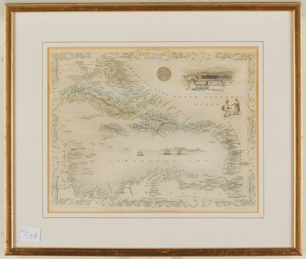
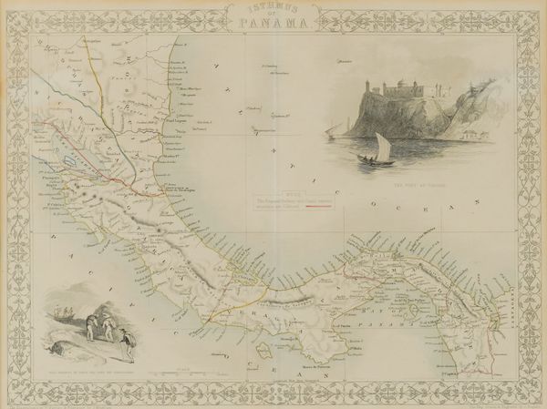


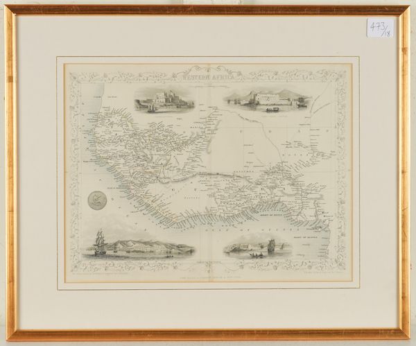
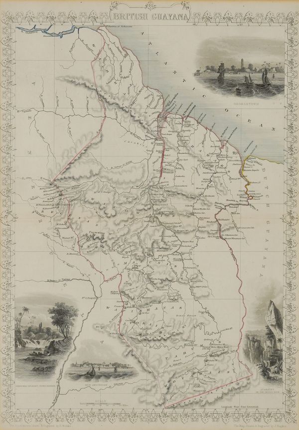
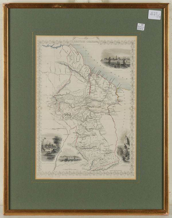

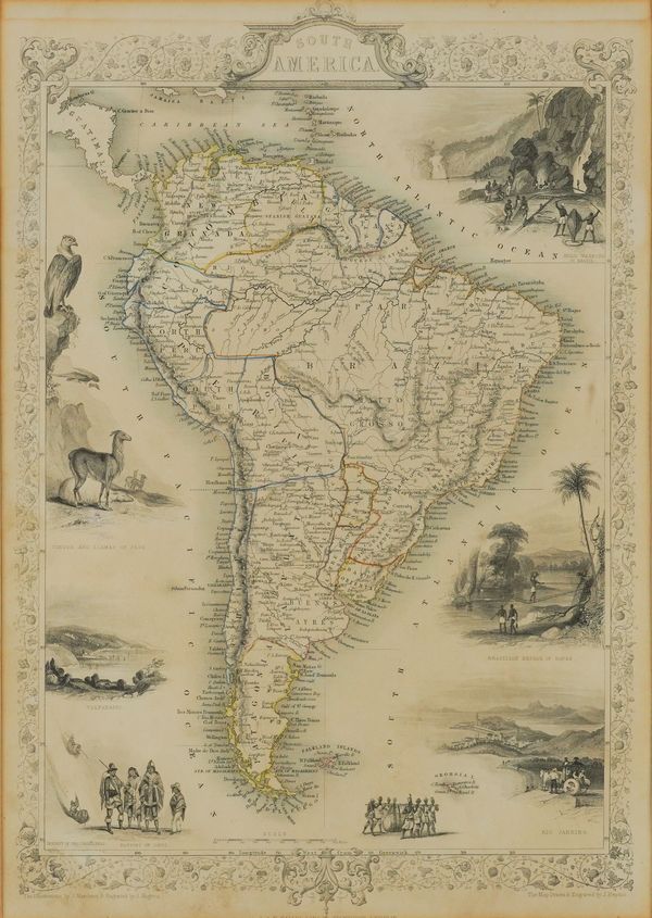
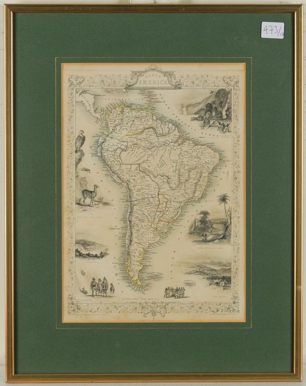
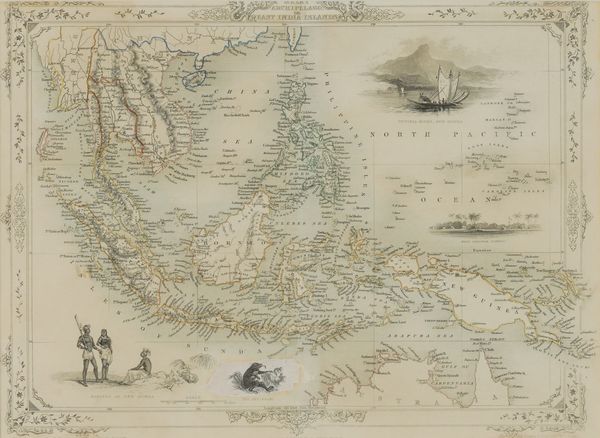
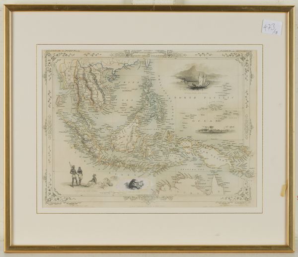
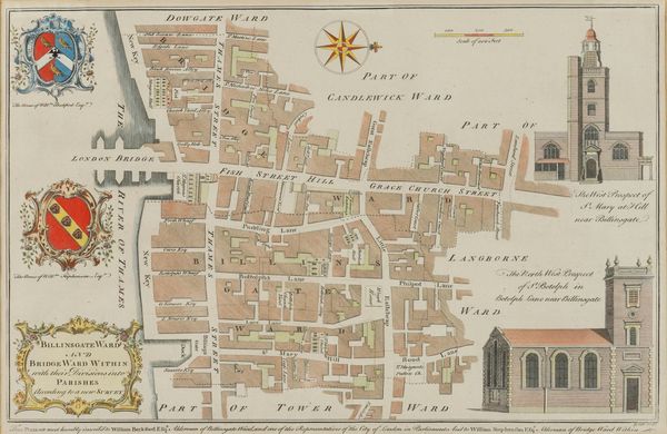
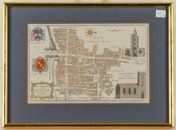
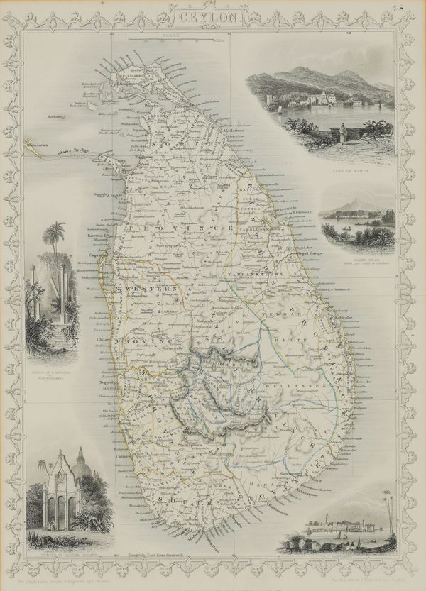
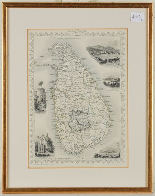

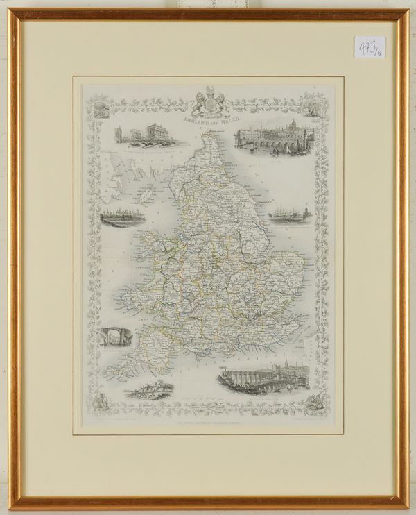

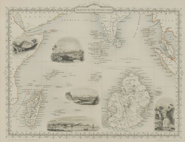


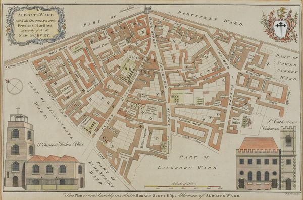
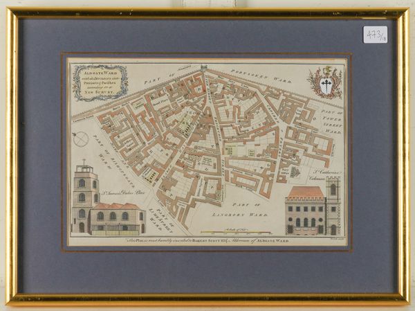
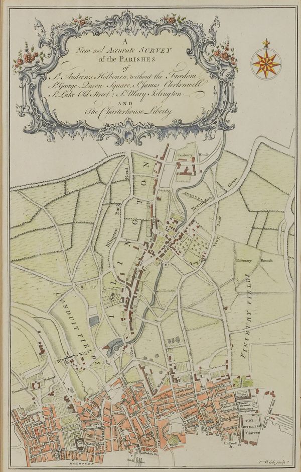
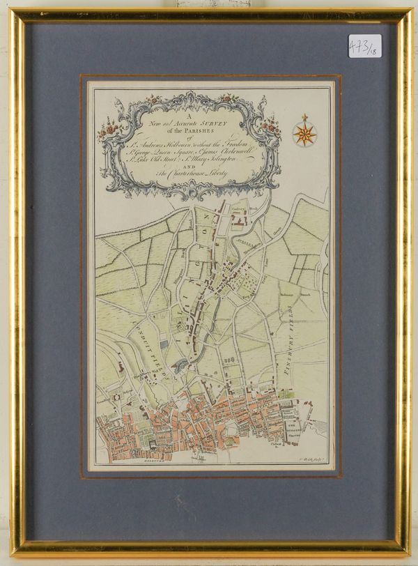


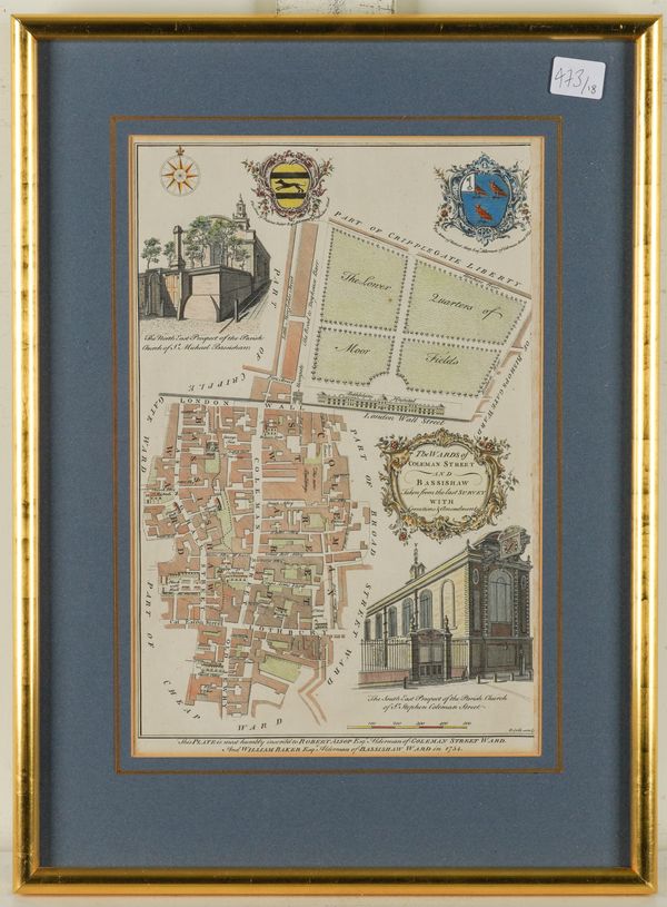


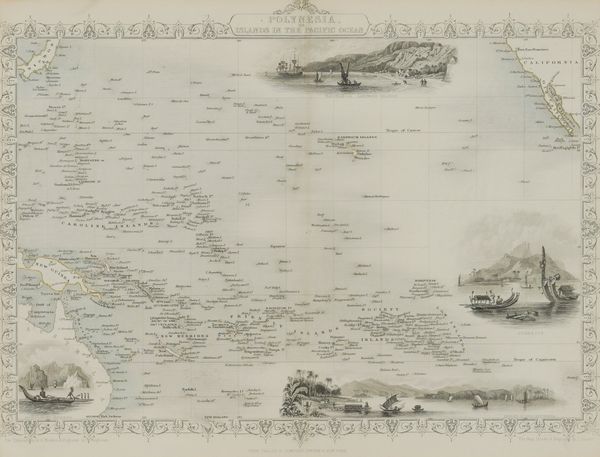

MAPS - John STOCKDALE (1750-1814, publisher). Great Britain and Ireland with ye Judges Circuits, London, 1805, engraved map, table, 360 x 475mm., framed and glazed. With 17 other maps by Benjamin Cole (4) and John Tallis (13), all framed and glazed. (18)
| Starting bid | £100 |
| Estimate | £200 - £300 |
| Absentee deadline | Dec 3, 2025, 5:00:00 PM |
MAPS - John STOCKDALE (1750-1814, publisher). Great Britain and Ireland with ye Judges Circuits. [London:] John Stockdale, 1805. Engraved map of Great Britain and Ireland, hand-coloured in outline, with smaller inset maps of the Shetland Islands and the Western Isles, table of "Distances of the Cities & Shire Towns in England & Wales" (lightly browned and spotted), 360 x 475mm., framed and glazed. With 17 other miscellaneous engraved maps comprising 4 hand-coloured engraved plans of London Wards by Benjamin Cole and 13 maps by John Tallis, all framed and glazed. (18)
![TURNER, Richard ([?]1720-91). A View of the Earth: Being a short, but Comprehensive System of Modern Geography, London, 1762, 4to, engraved map of the world, 6 maps, plate, diagrams, boards (worn). And 2 contemporary manuscript exercise books. (3)](https://scc.snoofa.com/image/snoofa-tenant-bellmans/images%2Flot-numbers%2FDEC-BOOKS-2025%2Fwo30nopmu0rm8ryiapo4690e125b7069c332258930%2FFull%2F509.jpg)
![[PHILLIPS, Richard (1767-1840)]. The Wonders of the Telescope; or, a Display of the Starry Heavens and of the System of the Universe, London, 1809, 8vo, 14 engraved plates, contemporary boards. "New Edition." With 9 other works in 12 vols. (13)](https://scc.snoofa.com/image/snoofa-tenant-bellmans/images%2Flot-numbers%2FJULY-BOOKS-2025%2F8mramarryamzevt540hz68567a453c0cf824845942%2FFull%2F389.jpg)
![[HANWAY, Jonas (1712-86)]. A Journal of Eight Days Journey from Portsmouth to Kingston upon Thames, London, 1756-58, 4to, 4 engraved plates, contemporary calf. FIRST EDITION. With 3 other works in 5 volumes. (6)](https://scc.snoofa.com/image/snoofa-tenant-bellmans/images%2Flot-numbers%2FDEC-BOOKS-2025%2Fwo30nopmu0rm8ryiapo4690e125b7069c332258930%2FFull%2F441.jpg)

![LOVECRAFT, H. P. (1890-1937). The Shunned House, Athol, Mass.: The Recluse Press, 1928 [but please see the important note in the full description below]. Original publisher's black cloth gilt, modern book box. Joshi A5. EXCEPTIONALLY RARE.](https://scc.snoofa.com/image/snoofa-tenant-bellmans/images%2Flot-numbers%2FDEC-BOOKS-2025%2Fv0y9k8v41xfda2jnj4w569135f42d0092550395446%2FFull%2F458.jpg)

![[POUND, Ezra (1885-1972), editor] - Guido CAVALCANTI (1255-1300). Rime ... Edizione Rappezzata fra le Rovine, Genova, "Edizioni Marsano S. A.", 1931, 4to, original red wrappers. ONE OF 500 COPIES, POSSIBLY A PRESENTATION COPY, [?]inscribed by Ezra Pound.](https://scc.snoofa.com/image/snoofa-tenant-bellmans/images%2Flot-numbers%2FDEC-BOOKS-2025%2Fwo30nopmu0rm8ryiapo4690e125b7069c332258930%2FFull%2F487.jpg)