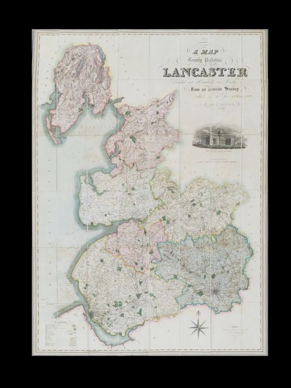
Hennet (George) A Map of the County Palatine of Lancaster
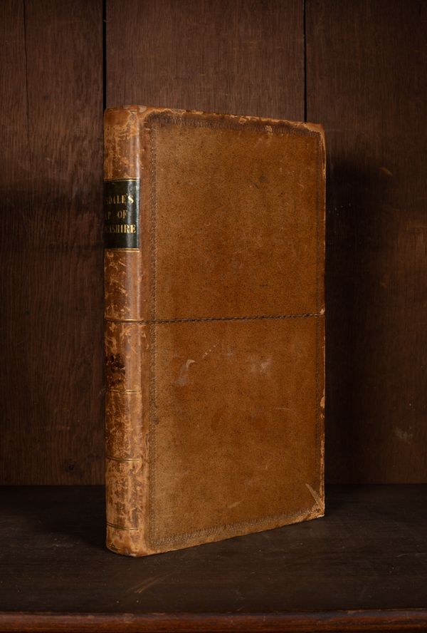
Hennet (George) A Map of the County Palatine of Lancaster Divided into Hundreds and Parishes from an accurate survey made in the years 1828 and 1829, London: Henry Teesdale, 1830, 163.5cm x 115.5cm, large map with ornate title upper right, vignette view of the New Custom House, Liverpool, just below, engraved map by James Bingley, with bright original hand-colouring, mounted on linen, edged with green silk, presented in full calf faux book case with marbled edges, with green leather title label 'Teesdale's Map of Lancashire', armorial bookplate for Sir Tonman Mosley, Bart. Rolleston Hall'